Welcome to GIS Portal
Your gateway to interactive maps, spatial data, and geographic insights for informed decision-making
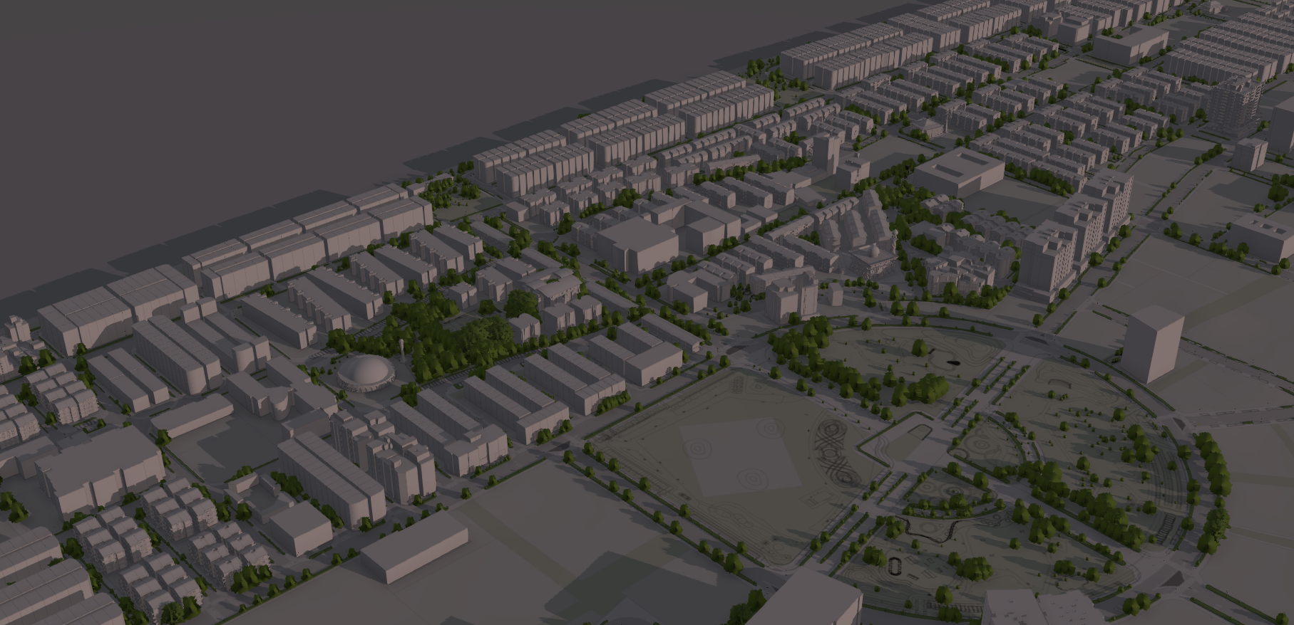
Hulhumale 3D
Interactive 3D visualization of Hulhumalé, showcasing buildings, roads, and key developments in stunning detail
View
Hulhumalé Development Timeline
A storymap showcasing the development and timeline of Hulhumalé since 2001.
ViewExplore
Storymaps